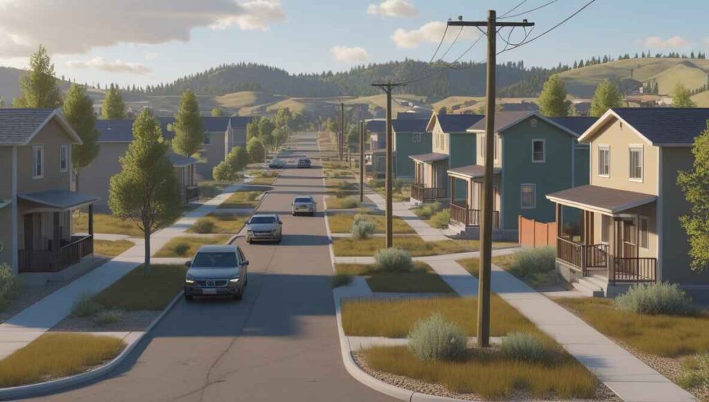
Archuleta County, Colorado Property Records – Owner, Address & Parcel Lookup
Search Archuleta County, Colorado property records using one search option: parcel number, property owner name, or property address. For the most accurate results, enter the parcel number exactly as recorded by the Archuleta County Assessor. This lookup provides quick access to ownership details, parcel information, tax assessment data and other public property records available for Archuleta County.
Colorado Property Search
Search Colorado public parcel records by address and owner information
Search Colorado public parcel records by address, owner name, city, ZIP code, or parcel ID
The Archuleta County Assessor’s Office conducts regular property assessments to determine updated market values for residential, agricultural and commercial properties throughout Archuleta County, Colorado. These valuations are reviewed periodically to keep property tax calculations consistent with current market conditions and state assessment guidelines.
County records show that thousands of parcels are maintained in the Archuleta County property database, with each property assigned a unique parcel identification number. This parcel ID allows users to look up property owner names, site addresses, assessed values, land size, building features, and local tax district information. Maintaining accurate parcel records and transparent assessment data helps Archuleta County provide reliable public property information and ensures fair property taxation across the county
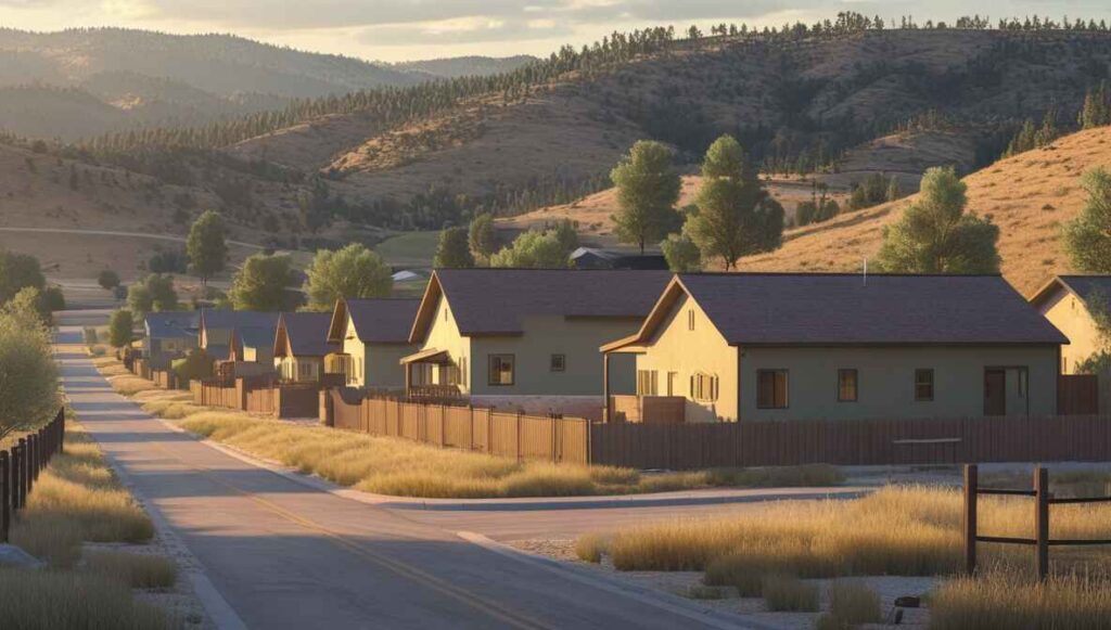
Archuleta County, Colorado Property Data – 2026
2026 Archuleta County property data shows a smaller but steady real estate market with about 9,735 residential properties and 737 commercial parcels. The average single-family home is around 2,046 sq. ft. and roughly 34 years old. Market reports indicate 32.47% equity-rich homes and a low 0.31% effective property tax rate. Recent activity includes 20 residential sales in 2026 so far following 213 home sales in 2025, with only one foreclosure filing reported year-to-date.
9,735
Total Residential Properties
20
Total 2026 Residential Sales (year-to-date)
737
Total Commercial Properties
0.67%
% of Homes Seriously Underwater (Q2 2025)
0.31%
Effective 2025 Property Tax
34 Years
Avg. Home Age (Single Family Home)
213
Total 2025 Residential Sales
1
Total Foreclosure Filings (year-to-date)
2,046
Avg. Square Feet (Single Family Home)
32.47%
% of Equity Rich Homes (Q2 2025)
Popular Cities in Archuleta County, CO
Several communities in Archuleta County, Colorado contain the majority of the county’s residential and commercial parcels. Pagosa Springs holds the largest share of property records, followed by areas such as Arboles and Chromo. Understanding how parcels are distributed across these locations helps homeowners, investors, and researchers review local property density, ownership patterns, and real estate activity within Archuleta County.

6,420 Parcels+ Parcels
2,610+ Parcels
1,440+ Parcels
4 Best Ways to Find Property Records in Archuleta County, Colorado
Our Archuleta County property search tools provide four simple ways to access public property records online. Users can search by owner name, parcel number (PIN), property address, or city, making it easy to locate ownership details, assessed values, parcel data, and other records maintained by the Archuleta County Assessor.
Archuleta County property search by owner name
Enter the owner’s full name to view property ownership, assessed value, and other record details maintained by the Assessor’s Office. This search is useful for tracking ownership history and verifying legal property information.
Archuleta County property search by parcel PIN
Use the parcel number to instantly access land size, building features, tax assessment, and recorded sales history. This method ensures you reach the exact property without sorting through similar addresses.
Archuleta County property search by property address
Search by street address to find the owner, assessed value, tax info, and complete parcel details. It’s particularly helpful when only the property location is known and other identifiers are unavailable.
Archuleta County property search by city name
Filter results by city, like Pagosa Springs, Arboles, or Chromo, to quickly access local property records and ownership data. This approach is ideal for reviewing multiple properties within the same community or comparing local market trends.
What Information You Get with Our Archuleta County, Colorado Property Appraiser Tool
Our Archuleta County property search tool offers complete public record information for any property query. Whether you search by owner name, parcel number, or street address, you can access detailed ownership records, tax data, assessed land and building values, legal descriptions, and official county appraisal information ideal for research, investment evaluation, or verifying property details.

Parcel Number
Unique identifier for each property used for tax and assessment purposes.
This number links directly to the Archuleta County Assessor’s records for official tracking

Account
Official property account number tracked by the Archuleta County Assessor.
It ensures all property transactions are properly recorded within Archuleta County.

Street Address
The property’s physical location to confirm identity and records.
Archuleta County uses this address to match properties with parcel and tax data.

City Name
Municipality or community affecting taxes, zoning, and local jurisdiction.
In Archuleta County, the city name helps locate properties within the correct area.

Primary Surface Owner
Legally recorded owner responsible for property taxes and title.
Ownership information is maintained in Archuleta County property records.
Owner Street Address
Mailing address of the property owner for official correspondence.
Archuleta County uses this to contact property owners regarding taxes or updates.

Owner City
City of the owner’s mailing address to identify residency or investor location.
This detail is recorded in Archuleta County public property records.
Owner ZIP
ZIP code of the owner’s mailing address for records and contact purposes.
It is included in Archuleta County Assessor records for verification.
Legal Description
Subdivision, lot, and block info for verifying title and boundaries.
Archuleta County maintains these details in the official property database.
Parcel Square Footage
Total land area in square feet to assess lot size and potential.
This measurement is recorded in Archuleta County property records.
Parcel Acres
Land size in acres for zoning, planning, or investment analysis.
Archuleta County uses this to evaluate property for tax and development purposes.

Price of Last Sale
Most recent sale price used for valuation and market comparison.
Sale history is tracked within Archuleta County Assessor records.
Tax Land Use Description
Classification of property: residential, commercial, or vacant land.
Archuleta County applies this for assessment and tax calculation purposes
Subdivision / Condo Name
Official neighborhood or condo name for identification and research.
These names are recorded in Archuleta County property records.
Taxable Value
Portion of assessed value subject to property taxes annually.
Archuleta County uses this to determine each property’s tax obligation.

Parcel Total Value
County-assessed total including land and structures for taxation.
All values are maintained in the official Archuleta County Assessor database.
Archuleta County Property Tax & Demographics
Review up-to-date property tax and demographic data for communities across Archuleta County, Colorado. The table highlights parcel numbers, population size, total land area, millage rates, and typical tax bills, giving homeowners and investors clear insights into local real estate and tax trends. It also helps compare different towns and neighborhoods within Archuleta County for smarter property decisions.
| City / Town | Population (Est. 2026) | Area (Sq. Mile) | Total Parcels (Approx.) | Millage Rate (2026) | Median Residential Tax Bill |
|---|---|---|---|---|---|
| Pagosa Springs | 1,720 | 4.88 | 6,420 | 75.541 | $2,034 |
| Arboles | ~300 | 5.30 | 2,610 | ~66.000 | $645 |
| Chromo | ~30 | N/A | 1,440 | ~66.000 | $2,733 |
| Chimney Rock | ~50 | N/A | N/A | ~64.000 | N/A |
| Pagosa Junction | Minimal | N/A | N/A | ~64.000 | N/A |
Explore Nearby Counties Around Archuleta County
Archuleta County is located in southwestern Colorado near the New Mexico border and is surrounded by several counties that manage their own property records, parcel data and tax assessment systems. If you are researching land ownership, property values, or tax details outside Archuleta County, reviewing nearby counties can provide additional useful records. The counties listed below also offer public access to property search and parcel lookup tools.
|
La Plata County Property Search |
|
|
Mineral County Property Search |
Rio Grande County Property Search |