Broomfield County, Colorado Property Lookup: Owner Name, Address, and Parcel Number
Search Broomfield County property records by parcel number, owner name, or address to quickly access ownership details, assessed values, tax information, and GIS parcel data. Perfect for homeowners, buyers and investors looking to research local properties.
Colorado Property Search
Search Colorado public parcel records by address and owner information
Search Colorado public parcel records by address, owner name, city, ZIP code, or parcel ID
The Broomfield County Assessor evaluates properties to determine current market values for residential, commercial, and other property types. These assessments help ensure property taxes are calculated fairly.
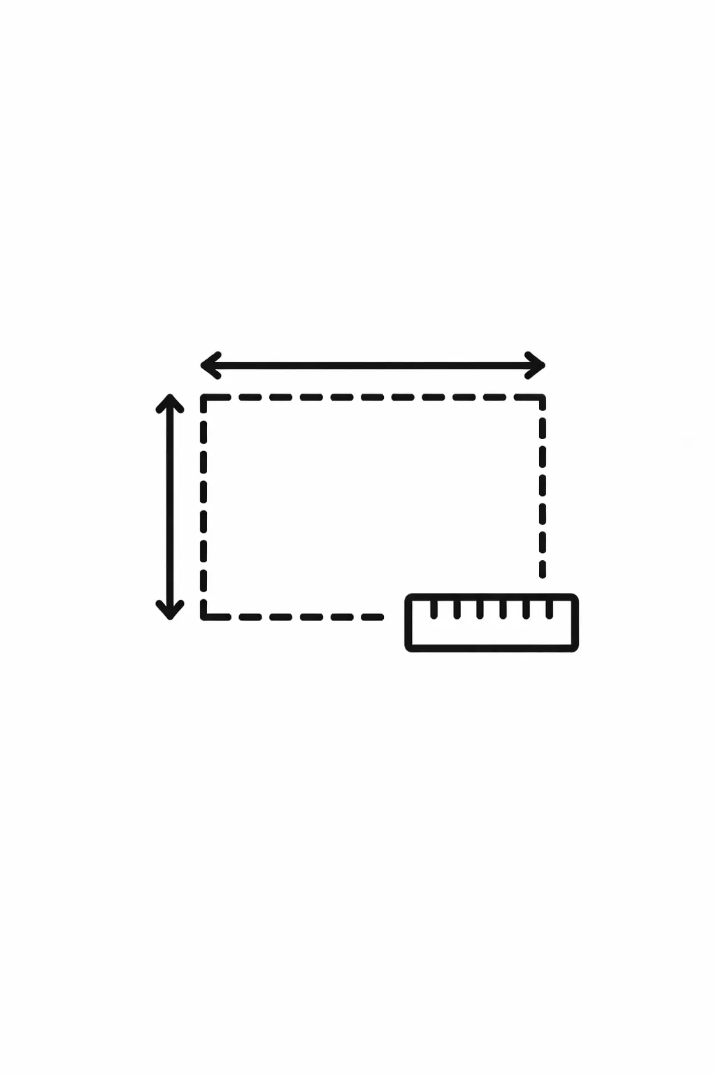
Each property in Broomfield County has a unique parcel number that allows users to look up ownership details, assessed value, land size, building information, and tax records through the county’s property records system.
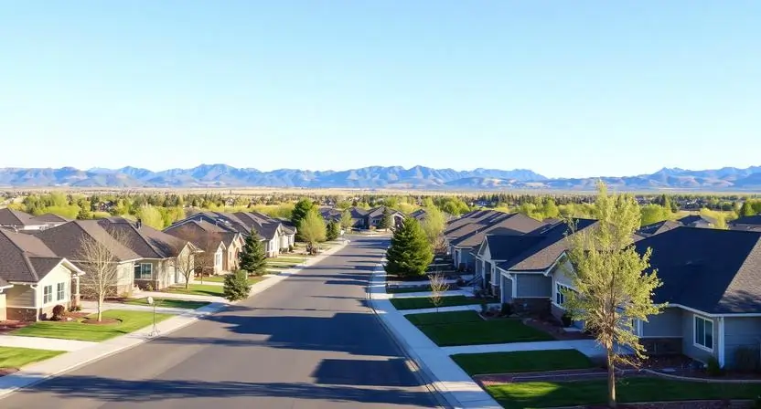
Broomfield County, Colorado Property Data – 2026
Broomfield County has 22,621 residential and 988 commercial properties, each with official parcel records maintained by the county assessor. Single-family homes average 2,100 sq. ft. and are around 31 years old, giving buyers and investors useful context for property research.
Year-to-date 2026, there have been 149 residential sales, with very few foreclosure filings (7 so far), and approximately 45% of homes are equity-rich. The effective 2025 property tax rate was 0.69%, and users can access detailed ownership, assessed value, and tax data through Broomfield County’s property records and GIS parcel system.
22,621
Total Residential Properties
149
Total 2026 Residential Sales (year-to-date)
988
Total Commercial Properties
1.08%
% of Homes Seriously Underwater (Q2 2025)
0.69%
Effective 2025 Property Tax
31 Years
Avg. Home Age (Single Family Home)
1,142
Total 2025 Residential Sales
7
Total Foreclosure Filings (year-to-date)
2,100
Avg. Square Feet (Single Family Home)
45.29
% of Equity Rich Homes (Q2 2025)
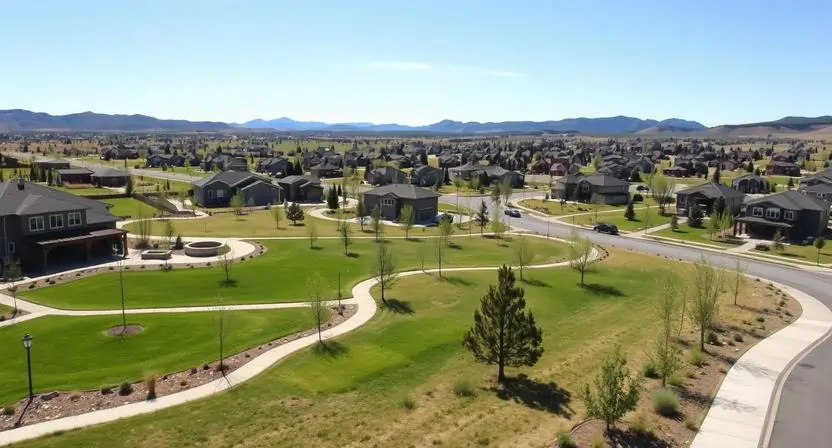
Popular Cities in Broomfield County, Colorado
Broomfield County’s communities include a mix of residential and commercial properties, helping homeowners, investors, and real estate professionals understand local market trends and property distribution. Knowing property counts by city or neighborhood also supports better planning for taxes, development, and real estate decisions.
22,621 parcels
5,200 parcels
4 Easy Ways to Find Property Records in Broomfield County, Colorado
Broomfield County property records are easy to access and free through the county’s online tools. Users can search by owner name, parcel number, property address, or neighborhood to quickly find ownership information, assessed values, tax details, and property specifics.
Broomfield County Property Search by Owner Name
Accessing Broomfield County property records is quick, free and straightforward through the online tools. You can search by owner name, parcel number, property address, or community to view detailed ownership information, tax data, and parcel details. These tools make it easy for homeowners, buyers, and investors to research properties and stay informed about local real estate.
Broomfield County Property Search by Parcel Number (PIN)
Each property in Broomfield County has a unique parcel number (PIN) that allows for precise searches. Entering the PIN reveals detailed information including land size, building features, past sales, and property tax records.
Broomfield County Property Search by Property Address
Searching by a property’s street address makes it easy to locate a specific parcel. Users can view the current owner, parcel data, assessed value, and additional property information directly from official county records.
Broomfield County Property Search by Community
You can filter property searches by community or neighborhood, such as Broomfield, Louisville, or Superior. This method provides a quick overview of all properties in a chosen area, along with ownership, tax, and parcel details.You can filter property searches by community or neighborhood, such as Broomfield, Louisville, or Superior.
What You Can Find with Our Broomfield County, Colorado Property Tool
The Broomfield County property search tool provides comprehensive public records for every property in the county. By searching with an owner name, parcel number, or property address, you can access ownership history, assessed values, tax information, land and building details, and official county assessment records helpful for property research, real estate analysis, or verifying property data.

Parcel Number
A unique identifier assigned by the Broomfield County Assessor to each property for official record-keeping and tax purposes.

Account
The official property account number used by the assessor’s office to manage and track Broomfield County property records.

Street Address
The physical location of the property, used to confirm its exact position within Broomfield County.

City Name
The city or community where the property is located, affecting local taxes, zoning regulations, and municipal services.

Primary Surface Owner
The legally recorded owner of the property responsible for taxes and holding the title in Broomfield County.

Owner Street Address
The owner’s mailing address is used to send official notices, and other correspondence related to their Broomfield County property.

Owner City
The city of the property owner’s mailing address, helping determine residency or investment ownership within or outside Broomfield County.

Owner ZIP
The owner’s ZIP code indicates the mailing area and can be used for contacting the owner or reviewing demographic trends within Broomfield County.
Legal Description
Detailed information including subdivision, lot, and block that defines property boundaries for official Broomfield County records.
Parcel Square Footage
The total land area of the property in square feet, offering insight into lot size and potential for development or improvement.
Parcel Acres
The land size measured in acres, important for zoning, planning, and real estate investment decisions in Broomfield County

Price of Last Sale
The most recent sale price recorded for the property, useful for market comparison and property valuation.

Tax Land Use Description
The property’s classification residential, commercial, or vacant land used by Broomfield County for tax assessment and planning purposes.

Subdivision / Condo Name
The official neighborhood, subdivision, or condominium name, making properties easier to identify and research within the local market.
Taxable Value
The portion of the property’s assessed value subject to property taxes, determining the annual tax owed to Broomfield County.
Parcel Total Value
The total value of the property assessed by Broomfield County, including land and improvements, which is used to calculate property taxes
Broomfield County Property Tax & Demographic Overview
Gain a clear picture of property taxes and demographics in Broomfield County with up-to-date data on residential and commercial parcels. This overview highlights property counts, community populations, land size, local tax rates, and typical annual tax amounts providing homeowners, buyers, and investors with practical insights for making informed real estate decisions.
| Area / Zip Code | Total Parcels | Population | Area (sq mi) | Avg. Millage Rate | Median Tax Bill |
|---|---|---|---|---|---|
| 80020 (Central) | ~11,200 | ~34,500 | 11.2 | ~94.500 | $3,290 |
| 80023 (North) | ~7,100 | ~21,200 | 14.8 | ~128.600 | $5,675 |
| 80021 (Southwest) | ~4,800 | ~14,100 | 4.3 | ~102.300 | $4,150 |
| Broadlands (Area) | ~2,200 | ~6,500 | 1.8 | 122.872 | $4,526 |
| Anthem (Area) | ~2,100 | ~6,100 | 1.5 | ~135.200 | $6,100 |
Explore Nearby Counties Around Broomfield County
Broomfield County sits between several larger counties in the Denver-Boulder corridor. People researching property ownership, parcel maps, or tax details sometimes need to check neighboring counties as well, especially when properties or records overlap across county boundaries.