Custer County Colorado Property Search, Owner & Parcel Lookup
In Custer County, Colorado, you can search property records using a parcel number, owner name, or property address. Enter the parcel number carefully for precise results. This search gives you access to ownership information, tax assessments, and official property details, making it simple to verify land and home data anywhere in the county.
Colorado Property Search
Search Colorado public parcel records by address and owner information
Search Colorado public parcel records by address, owner name, city, ZIP code, or parcel ID
The Custer County Assessor performs an annual property assessment across the county to determine current market values for both residential and commercial properties. Most properties are reviewed on a yearly basis to ensure property taxes are calculated fairly and accurately. According to official county records, Custer County currently manages over 7,500 parcels.
Each parcel is assigned a distinct parcel number, enabling users to search by owner name, property address, assessed value, land size, building details, and tax history. This open and organized appraisal process ensures transparent property records and helps maintain equitable property taxation throughout Custer County.
Custer County, Colorado Property Data – 2026
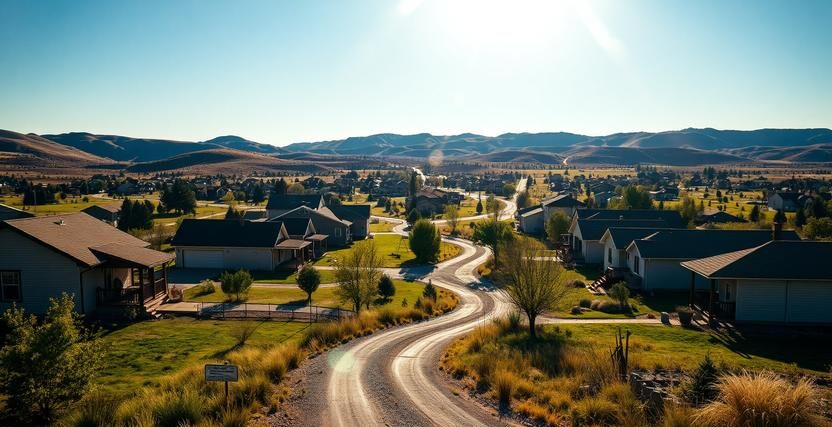
Custer County’s 2026 real estate market includes 4,339 residential and 205 commercial properties. The average single-family home is 34 years old and 1,564 sq. ft. so far this year, 9 homes have sold, following 196 sales in 2025. About 20.82% of homes are equity-rich, while 1.02% were seriously underwater in Q2 2025. The effective property tax rate is 0.32%, and foreclosure activity is minimal, with only 1 filing year-to-date.
4,339
Total Residential Properties
9
Total 2026 Residential Sales (year-to-date)
205
Total Commercial Properties
1.02%
% of Homes Seriously Underwater (Q2 2025)
0.32%
Effective 2025 Property Tax
34 Years
Avg. Home Age (Single Family Home)
196
Total 2025 Residential Sales
1
Total Foreclosure Filings (year-to-date)
1,564
Avg. Square Feet (Single Family Home)
20.82%
% of Equity Rich Homes (Q2 2025)
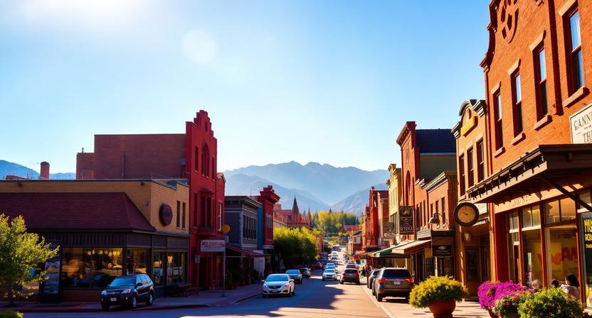
Popular Cities in Custer County, Colorado
Custer County’s key towns each hold a distinct portion of the county’s residential and commercial parcels. Westcliffe leads with 1,245 parcels, Silver Cliff follows with 832 parcels, and San Isabel has 622 parcels. Understanding these town-level property distributions helps homebuyers, investors, and real estate professionals assess market size, density, and potential tax obligations across Custer County efficiently.
1,245 Parcels
832 Parcels
622 Parcels
4 Best Ways to Find Property Records in Custer County, Colorado
Custer County provides four straightforward ways to explore official property records online at no cost. Whether you search by owner name, parcel number (PIN), property address, or town, you can quickly uncover ownership details, assessed values, tax history, and full property information across the county.
Custer County property search by owner name
Enter the full owner’s name to see property ownership history, assessed values, and detailed records maintained by the Custer County Assessor. This search also provides recent sales, parcel information, and tax history for properties associated with that owner.
Custer County property search by parcel PIN
Use the property’s unique parcel number to instantly access land size, building info, tax assessments, and sales history. The results also include ownership records, improvements, and any liens tied to the parcel.
Custer County property search by property address
Input the street address to find the current owner, assessed value, tax details, and parcel records for that property. You can also view recent transactions, property characteristics, and zoning info linked to the address.
Custer County property search by city name
Search by town (for example, Westcliffe, Silver Cliff, or San Isabel) to filter properties in a specific area and view ownership and tax details. This method also highlights parcel counts, sales activity, and neighborhood property trends.
What Information You Get with Our Custer County, Colorado Property Appraiser Tool
The Custer County property search tool delivers full access to official records for any parcel in the county. Whether searching by owner name, parcel number, or property address, users can review ownership, assessed values, tax history, and building details for research, verification, or investment purposes.

Parcel Number
A distinct number assigned to each property by Custer County, used for tax records and official identification.
It allows quick retrieval of all related ownership, land, and assessment information.

Account
The county-issued property account number tracks each parcel through the Assessor’s office.
This number ensures all transactions, assessments, and ownership changes are accurately recorded.

Street Address
The official property address used to locate and confirm the exact location of the parcel.
It links to all county records, including land size, buildings, and ownership history.

City Name
The town where the property is situated, which influences local zoning, services, and tax rates.
Searching by town can help filter records and understand community-specific property trends.

Primary Surface Owner
The legally recognized owner responsible for paying taxes and holding title to the property.
This entry shows the current and historical owners as maintained in county records.

Owner Street Address
The official mailing address of the property owner for tax notices and county correspondence.
It helps identify whether the owner resides locally or is an out-of-town investor.

Owner City
The city associated with the owner’s mailing address for demographic or contact purposes.
This information aids in locating ownership patterns across different municipalities.

Owner ZIP
ZIP code of the property owner’s mailing address, used to verify location and for outreach purposes.
It is also helpful when analyzing ownership trends or compiling property statistics.
Legal Description
The formal description of the property including lot, block, and subdivision details.
This ensures precise identification for title verification, deeds, and boundaries.
Parcel Square Footage
The total land area in square feet, helping gauge lot size and potential for development.
This metric is used for assessment purposes and property comparisons within the county.
Parcel Acres
The property’s total area in acres, used for zoning, taxation, and investment evaluation.
It provides context for land use, agricultural potential, or building eligibility.

Price of Last Sale
The last recorded sale price, offering insight into property value trends over time.
It can be used for appraisals, market analysis, or comparison with similar parcels.
Tax Land Use Description
Categorizes the property as residential, commercial, or vacant land for tax assessment.
This classification guides zoning, valuation, and investment research within the county.

Subdivision / Condo Name
The officially recognized neighborhood or condominium association for the property.
It helps identify location context and can assist with market or real estate research.
Taxable Value
The portion of the assessed value that is subject to county property taxes.
This determines the annual tax liability for the owner and supports budget planning.

Parcel Total Value
The combined value of land and structures as assessed by the county for tax purposes.
It provides the official basis for calculating taxes and understanding property worth.
Custer County Property Tax & Demographic Data
Access the latest Custer County, Colorado property tax and demographic insights for towns and communities across the county. This overview provides estimated parcel counts, population figures, land area, millage rates, and median residential tax bills, helping homeowners, buyers, and investors make informed property and tax-related decisions.
| City / Town | Population (Est. 2026) | Area (Sq. Mile) | Total Parcels (Approx.) | Millage Rate (2026) | Median Residential Tax Bill |
|---|---|---|---|---|---|
| Westcliffe (Incorporated) | ~459 | ~1.24 | 1,245 | 4.992 mills | $800 – $1,499 |
| Silver Cliff (Incorporated) | ~863 | ~15.5 | 832 | 3.000 mills | < $800 |
| Wetmore (Unincorporated) | ~110 | N/A | 95 | 0.000 mills* | $400 – $800 |
| San Isabel (Unincorporated) | ~50 (seasonal) | N/A | 40 | 0.000 mills* | Varies by value |
| Rosita (Unincorporated) | < 50 | N/A | 25 | 0.000 mills* | Varies by value |
*Note: Unincorporated areas do not charge a municipal “town” millage; residents pay only the County, School, and Special District levies.
Explore Nearby Counties Around Custer County
When you’re exploring property options in Custer County, it’s helpful to look beyond just one map boundary. The surrounding counties each bring a slightly different mix of mountain terrain, land availability, and pricing trends so comparing them can give you a much clearer sense of what fits your goals.
|
Saguache County Property Search |
|
|
Huerfano County Property Search |