Arapahoe County Colorado Property Records: Owner, Parcel & Address Lookup
Search Arapahoe County property records using a parcel number, property owner name, or property address. Parcel numbers usually provide the most accurate results because they connect directly to the county assessor’s database. View key details such as property ownership, assessed value, tax information, and parcel data from official public records.
Colorado Property Search
Search Colorado public parcel records by address and owner information
Search Colorado public parcel records by address, owner name, city, ZIP code, or parcel ID
The Arapahoe County Assessor updates property values each year to reflect current real estate market conditions across the county. These annual reviews cover residential, commercial, and land parcels to ensure property tax assessments remain accurate and consistent. According to county records,
Arapahoe County tracks hundreds of thousands of individual parcels, each identified by a unique schedule or parcel number in the assessor database. Using this number, users can locate detailed property ownership records, site addresses, assessed values, land information, building features, and tax assessment data. Maintaining these records helps provide transparent public access to Arapahoe County property information and supports fair property taxation for local communities.
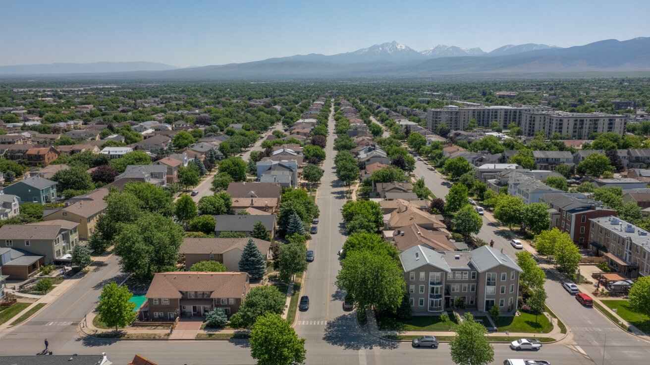
Arapahoe County, Colorado Property Data – 2026
The 2026 Arapahoe County property market includes 200,707 residential properties and 4,814 commercial parcels. The average single-family home is 1,933 sq. ft. and about 42 years old, reflecting many established neighborhoods. Market activity shows 9,737 residential sales in 2025 and 1,424 sales recorded so far in 2026. About 41.76% of homes are equity-rich, while 1.14% are seriously underwater. The county also maintains a low effective property tax rate of 0.59% with 92 foreclosure filings reported year-to-date.
200,707
Total Residential Properties
1,424
Total 2026 Residential Sales (year-to-date)
4,814
Total Commercial Properties
1.14%
% of Homes Seriously Underwater (Q2 2025)
0.59%
Effective 2025 Property Tax
42 Years
Avg. Home Age (Single Family Home)
9,737
Total 2025 Residential Sales
92
Total Foreclosure Filings (year-to-date)
1,933
Avg. Square Feet (Single Family Home)
41.76%
% of Equity Rich Homes (Q2 2025)
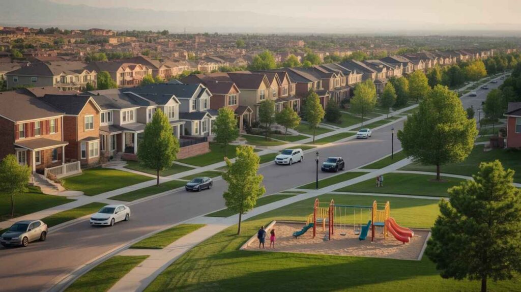
Popular Cities in Arapahoe County, Colorado
Several major cities in Arapahoe County contain large concentrations of residential and commercial parcels. Communities like Aurora, Centennial, and Littleton represent major property hubs within the county, giving homeowners, investors, and real estate professionals a clearer picture of local market size, property density, and tax assessment patterns.
131,436+ Parcels
41,121+ Parcels
21,476+ Parcels
4 Best Ways to Find Property Records in Arapahoe County, Colorado
Our Arapahoe County property search tools provide four simple methods to access public property records online. You can look up records using an owner name, parcel or schedule number, property address, or city name to quickly view ownership details, assessed values, sales history, building information, and official assessor data.
Arapahoe County property search by owner name
Search using the property owner’s full name to locate real estate records, including ownership history, assessed values, and property details maintained by the Arapahoe County Assessor.
Arapahoe County property search by parcel number
Enter the property’s parcel or schedule number to access precise assessor records such as land size, building characteristics, tax assessments, and recorded sales data.
Arapahoe County property search by property address
Use the street address to quickly locate property records, including the current owner, assessed value, parcel identification, and tax-related information.
Arapahoe County property search by city name
Searching by city name (for example Aurora, Centennial, or Littleton) helps narrow property results within a specific area of Arapahoe County and view local ownership records.
What Information You Get with Our Arapahoe County, Colorado Property Search Tool
Our Arapahoe County property lookup tool provides detailed public record data for each property search. Whether you search using an owner name, parcel or schedule number, or property address, you can quickly view ownership records, assessor values, tax-related details, land characteristics, and building information maintained by Arapahoe County assessment records.

Parcel Number
Unique parcel or schedule number assigned to each property in Arapahoe County.
Used by the assessor to identify land parcels for taxation and property records.

Account
Official property account reference used by the Arapahoe County Assessor’s Office.
Helps track assessment data and property record history.

Street Address
Physical street location used to identify the property parcel.
Confirms the exact site recorded in Arapahoe County property records.

City Name
City or municipality where the property is located within the county.
This location can influence zoning rules and local tax districts.

Primary Surface Owner
The legally recorded owner listed in Arapahoe County real estate records.
Responsible for property ownership and related tax obligations.

Owner Street Address
Mailing address where the property owner receives tax notices.
Used by the county for official correspondence and documentation.

Owner City
City listed in the owner’s mailing address information.
Often used to determine local residency or out-of-area ownership.

Owner ZIP
ZIP code connected to the owner’s mailing address.
Helpful for location reference and demographic identification.
Legal Description
Official description including lot, block, and subdivision details.
Used for title verification and property boundary identification.
Parcel Square Footage
Total parcel size measured in square feet.
Useful for evaluating lot size and development potential.
Parcel Acres
Land area converted into acres for easier property comparison.
Commonly used for zoning, valuation, and investment analysis.

Price of Last Sale
Sale price recorded from the most recent property transfer.
Helps compare market value and past real estate transactions.

Tax Land Use Description
County classification describing how the land is used.
Examples include residential, commercial, agricultural, or vacant land.

Subdivision / Condo Name
Name of the subdivision, neighborhood, or condominium complex.
Helps identify the property’s community or development area.

Taxable Value
Portion of the property’s assessed value subject to taxation. Used to calculate annual Arapahoe County property tax amounts.

Parcel Total Value
Total value assigned by the county assessor.
Includes combined land value and any building improvements.
Arapahoe County Property Tax & Demographic Data
Explore the latest Arapahoe County, Colorado property tax and demographic insights across key cities and communities. The table below highlights estimated parcel totals, population figures, area size, local mill levy rates, and median property tax estimates, helping homeowners, investors, and researchers better understand real estate patterns within Arapahoe County.
| City / Town | Population (Est. 2026) | Area (Sq. Mile) | Total Parcels (Approx.) | Millage Rate (2026) |
|---|---|---|---|---|
| Aurora (Arapahoe Portion) | 336,390 | ~163 | 130,957 | 58.19 – 228.99 mills |
| Centennial | 108,152 | ~29.7 | 41,592 | 58.19 – 228.99 mills |
| Littleton | 42,584 | ~13.9 | 20,265 | 58.19 – 228.99 mills |
| Englewood | 33,657 | ~6.6 | 17,095 | 58.19 – 228.99 mills |
| Greenwood Village | 15,652 | ~8.3 | 6,734 | 58.19 – 228.99 mills |
| Cherry Hills Village | 6,429 | ~6.3 | 2,186 | 58.19 – 228.99 mills |
| Sheridan | 6,089 | ~2.3 | 2,636 | 58.19 – 228.99 mills |
| Glendale | 4,599 | ~0.6 | 3,106 | 58.19 – 228.99 mills |
| Columbine Valley | 1,502 | ~1.0 | 600 | 58.19 – 228.99 mills |
| Deer Trail | 1,104 | ~1.1 | 455 | 58.19 – 228.99 mills |
| Foxfield | 752 | ~1.3 | 273 | 58.19 – 228.99 mills |
| Bow Mar | 585 | ~0.8 | 206 | 58.19 – 228.99 mills |
| Bennett | 424 | ~5.6 | 138 | 58.19 – 228.99 mills |
Explore Nearby Counties Around Arapahoe County
Arapahoe County is part of the Denver metropolitan region and is bordered by several counties that maintain their own property records, parcel data systems, and tax assessment offices. If you are researching property ownership, tax information, or land records outside Arapahoe County, exploring nearby counties can help you find additional public records. The counties below also provide access to official property search and parcel lookup tools.
|
Elbert County Property Search |