Garfield County, Colorado Property Lookup: Find Ownership, Parcel and Tax Details
Easily search Garfield County property records using an owner’s name, parcel number, or property address. Access detailed ownership information, assessed values, property tax history, and interactive GIS parcel maps designed for homeowners, real estate buyers, and investors who need accurate, up-to-date property data in Garfield County.
Colorado Property Search
Search Colorado public parcel records by address and owner information
Search Colorado public parcel records by address, owner name, city, ZIP code, or parcel ID
The Garfield County Assessor performs annual property assessments to maintain accurate market values for homes, commercial buildings, and other real estate throughout the county. Most properties are reviewed regularly to ensure property taxes reflect current market conditions.
Garfield County keeps detailed records for every parcel, each identified by a unique parcel number. This system lets users quickly access property ownership, addresses, assessed values, land size, building features, and tax history. By providing transparent and up-to-date property information, Garfield County empowers homeowners, buyers, and real estate professionals to make informed decisions while supporting fair and accurate property taxation.
Garfield County, Colorado Property Overview – 2026
Garfield County has 21,530 residential and 1,809 commercial properties. The average home is 38 years old with 2,202 sq. ft. of living space. Year-to-date, 158 homes have sold, with low foreclosure activity (5 filings) and 44% of homes equity-rich. Property taxes remain moderate at 0.37%, reflecting a stable local market for homeowners, buyers, and investors.
21,530
Total Residential Properties
2,202
Total 2026 Residential Sales (year-to-date)
1,809
Total Commercial Properties
1.02%
% of Homes Seriously Underwater (Q2 2025)
0.37%
Effective 2025 Property Tax
38 Years
Avg. Home Age (Single Family Home)
1,147
Total 2025 Residential Sales
5
Total Foreclosure Filings (year-to-date)
2,202
Avg. Square Feet (Single Family Home)
44.02
% of Equity Rich Homes (Q2 2025)
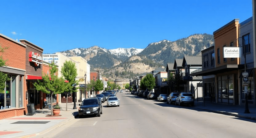
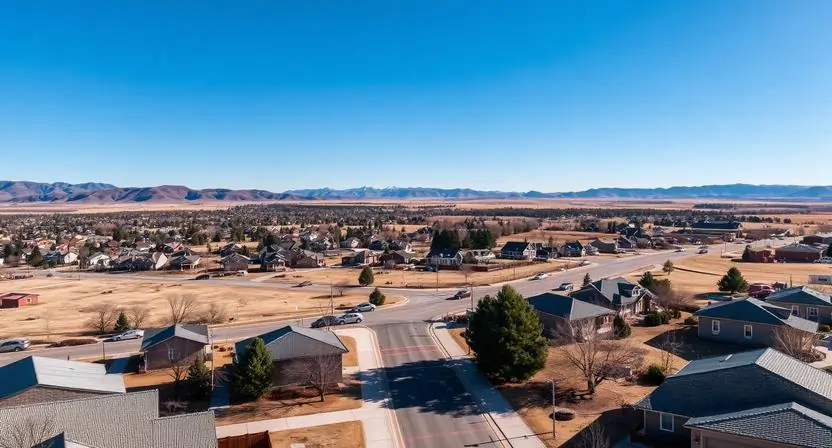
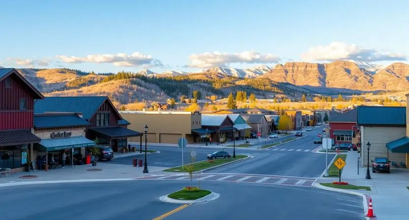
Major Cities in Garfield County, Colorado
Garfield County has several active communities where many residential and commercial properties are located. Glenwood Springs, Rifle, and Carbondale are among the county’s key housing markets where property records, parcel data, and tax assessments are frequently searched. Understanding property distribution in these cities helps buyers, homeowners, and investors better evaluate the local real estate landscape.
7,850 Parcels
6,430 Parcels
4,960 Parcels
4 Best Ways to Search Property Records in Garfield County, Colorado
Garfield County provides several convenient ways to access public property records, assessor data, and parcel details online. Whether you are researching ownership, checking tax assessments, or reviewing property characteristics, these search options help you quickly locate accurate information from county records.
Garfield County Property Search by Owner Name
Searching by the owner’s name helps you locate properties associated with a specific individual or business. This method is useful for reviewing ownership history, assessed values, and identifying multiple properties registered under the same owner.
Garfield County Property Search by Parcel Number
Each property in Garfield County is assigned a unique parcel identification number (PIN) by the assessor’s office. Entering this number provides the most precise results, including land size, building details, tax information, and past sales records.
Garfield County Property Search by Property Address
You can also find property information by entering the full street address. This search method quickly displays ownership details, assessed property value, parcel boundaries, and tax-related information.
Garfield County Property Search by City or Town
Filtering records by city such as Glenwood Springs, Rifle, or Carbondale helps narrow down results to a specific area within the county. This approach is helpful for exploring local housing markets and reviewing nearby property records.
What You Can Find with Our Lake County, Colorado Property Appraiser Tool
The Garfield County property search tool makes it easy to access official public property records online. Simply search by owner name, parcel number, or property address to quickly locate a specific property. You can view key details such as property ownership, assessed value, tax information, sales history, land size, and building characteristics directly from county assessor records helpful for homeowners, buyers, and real estate research.

Parcel Number
A unique identification number assigned by the Garfield County Assessor to track each property parcel in official records, tax assessments, and property ownership documentation.

Account
The internal account ID used by the Garfield County Assessor’s office to organize and manage property records, billing information, and assessment data.

Street Address
The physical location of the property within Garfield County, used to identify the parcel on maps, verify ownership records, and locate the property for taxation.

City Name
The municipality or community where the property is situated, which may influence zoning rules, local services, and certain tax-related considerations.

Primary Surface Owner
The individual or entity listed in county records as the legal owner of the property and responsible for property taxes and title ownership.
Owner Street Address
The mailing address recorded for the property owner where Garfield County sends official tax bills, assessment notices, and other property-related correspondence.

Owner City
The city associated with the owner’s mailing address, often indicating whether the property owner resides locally or owns property as an investment.

Owner ZIP
The ZIP code linked to the owner’s mailing address, helping identify the geographic mailing area used for official communication and records.
Legal Description
A formal property description that includes subdivision, lot, and block details used in Garfield County legal documents to precisely define property boundaries.
Parcel Square Footage
The total land area of the parcel measured in square feet, providing a clear estimate of lot size and available space for development or use.
Parcel Acres
The size of the land expressed in acres, commonly used for larger parcels and helpful for zoning evaluation, planning, and real estate analysis.

Price of Last Sale
The recorded amount paid during the most recent property transaction, offering insight into market value trends and past real estate activity.
Tax Land Use Description
The official category assigned to the property such as residential, commercial, or vacant land used by Garfield County for tax assessment purposes.
Subdivision / Condo Name
The registered name of the neighborhood, subdivision, or condominium development associated with the property for easier identification in local records.
Taxable Value
The portion of the property’s assessed value that is subject to property taxation and used to calculate the annual tax obligation.
Parcel Total Value
The combined assessed value of the land and any structures on the property as determined by the Garfield County Assessor for tax calculation.
Garfield County Property Tax & Demographic Overview
Explore the latest Garfield County, Colorado property tax and demographic data for major cities and communities across the county. This overview includes estimated parcel totals, population figures, land area, local mill levy rates, and typical property tax amounts. These insights help homeowners, buyers, and investors better understand local property distribution, tax levels, and community characteristics when evaluating real estate in Garfield County.
| City / Town | Total Parcels (Est.) | Population (2020/24) | Area (sq mi) | Millage Rate (2024/25) | Median Tax Bill (Est.) |
|---|---|---|---|---|---|
| Glenwood Springs | ~5,100 | 9,963 | 5.86 | 72.215 – 74.432 | $3,375 |
| Rifle | ~3,800 | 10,437 | 7.02 | 41.506 – 44.098 | $1,770 |
| Carbondale | ~2,200 | 6,434 | 2.05 | 60.100 – 64.500 | $4,899 |
| New Castle | ~1,900 | 4,923 | 2.62 | 55.400 – 58.200 | $2,187 |
| Silt | ~1,100 | 3,536 | 1.44 | 48.300 – 51.500 | $2,092 |
| Parachute | ~600 | 1,148 | 1.63 | 38.500 – 42.000 | $968 |
Explore Nearby Counties Around Garfield County
If you’re exploring Garfield County, it helps to look beyond its borders too. Nearby counties offer additional property records, tax insights, and local data that can give you a more complete picture of the region.
|
Rio Blanco County Property Search |
|
|
Pitkin County Property Search |