Gilpin County Colorado Property Search, Owner & Parcel Lookup
Locate property information in Gilpin County, Colorado by choosing a single search method: parcel number, owner name, or property address. For best accuracy, enter the parcel number exactly as listed with spaces (example: 101 23 45 67890 000 001). Quickly view full property details, current ownership, and official public records.
Colorado Property Search
Search Colorado public parcel records by address and owner information
Search Colorado public parcel records by address, owner name, city, ZIP code, or parcel ID
The Gilpin County Assessor performs yearly property evaluations across Gilpin County to establish current market values for both residential and commercial properties. Real estate parcels are generally reviewed once every year to maintain fair and accurate property tax assessments. Based on publicly available records, the county manages thousands of individual parcels, each identified by a distinct parcel number.
This identifier allows users to access key details such as property ownership, site address, assessed value, land attributes, structural features, and tax data. This open and structured assessment process ensures reliable public records and promotes equitable property taxation throughout Gilpin County.
Gilpin County, Colorado Property Data – 2026
Gilpin County, Colorado property data for 2026 reflects a small but stable real estate landscape, with 3,652 residential and 250 commercial properties. The average single-family home offers around 1,756 sq. ft. of living space and is approximately 46 years old, while 31.73% of properties are considered equity-rich. The county maintains a low effective property tax rate of 0.27%, with limited market distress shown by just 1 foreclosure filing and only 1.23% of homes classified as seriously underwater.
3,652
Total Residential Properties
8
Total 2026 Residential Sales (year-to-date)
250
Total Commercial Properties
1.23%
% of Homes Seriously Underwater (Q2 2025)
0.27%
Effective 2025 Property Tax
46 Years
Avg. Home Age (Single Family Home)
48
Total 2025 Residential Sales
1
Total Foreclosure Filings (year-to-date)
1,756
Avg. Square Feet (Single Family Home)
31.73%
% of Equity Rich Homes (Q2 2025)
Popular Cities in Gilpin County, Colorado
Gilpin County’s key communities account for a concentrated share of both residential and commercial parcels. Central City includes 1,245 parcels, Black Hawk has 1,032 parcels, and Rollinsville contains 468 parcels. This distribution across towns gives buyers, investors, and real estate professionals a clearer view of local property density, development patterns, and taxation trends within Gilpin County, Colorado.
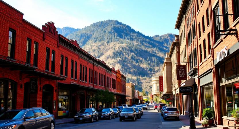
1,245 Parcels
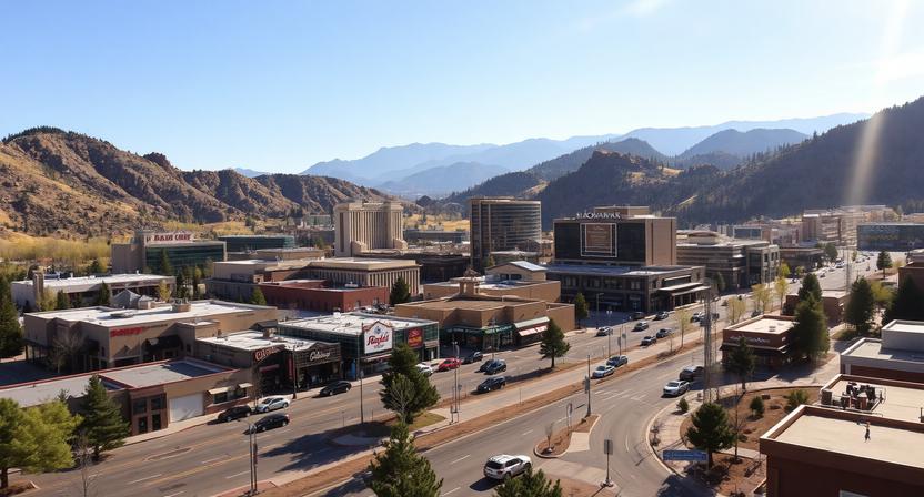
1,032 Parcels
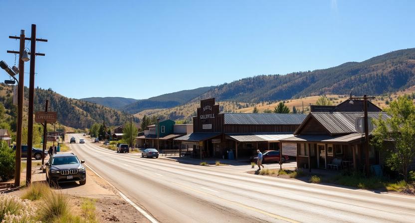
468 Parcels
4 Best Ways to Find Property Records in Gilpin County, Colorado
Gilpin County offers several easy ways to search public property records online at no cost. Whether you use an owner’s name, parcel ID, street address, or town, you can quickly pull up ownership details, assessed values, sales records, building features, and complete parcel data.
Gilpin County property search by owner name
Type in the owner’s full name to pull up associated properties, including ownership records, valuation changes, and assessor-listed details. This approach works well when you’re trying to identify all properties linked to a specific individual.
Gilpin County property search by parcel PIN
Enter the parcel ID to go straight to a specific property record with exact details like lot size, building specifications, tax values, and transaction history. It’s the most direct option when you already have the correct parcel reference.
Gilpin County property search by property address
Input the full property address to view records showing ownership, assessed value, tax data, and parcel-level information. This is a quick and practical method when you know the exact location but not the parcel number.
Gilpin County property search by city name
Select a town such as Central City, Black Hawk, or Rollinsville to narrow results within a defined area. This helps when browsing properties regionally or analyzing local trends within Gilpin County.
What Information You Get with Our Gilpin County, Colorado Property Appraiser Tool
Our Gilpin County property search tool provides comprehensive public record data for every property search. Whether you search by owner name, parcel number, or address, you can access complete property records, tax details, ownership information, land and building values, and official county assessment data perfect for research, investment analysis, or verifying property information.

Parcel Number
A distinct parcel identification code assigned to every property in Gilpin County for official tax assessment and record management purposes.
This number allows users to precisely locate and retrieve property-specific data within the county’s assessment and public records system without confusion.

Account
A designated account reference created by the Gilpin County Assessor to organize, monitor, and maintain property-related records over time.
It connects ownership details, valuation changes, and tax history into a single structured file for accurate tracking and administrative use.

Street Address
The exact physical location of the property, used to clearly identify and verify the parcel within Gilpin County records.
It helps users visually match the listed property with its real-world location for confirmation and research purposes.

City Name
Specifies the town or local jurisdiction where the property is situated within Gilpin County boundaries.
This detail plays an important role in understanding zoning classifications, local tax rates, and municipal regulations affecting the property.

Primary Surface Owner
The officially recorded individual or entity recognized as the legal owner of the property for tax and title purposes.
This information confirms ownership responsibility as documented in Gilpin County’s public property and assessment records.

Owner Street Address
The mailing address provided for the property owner, as recorded in Gilpin County’s official database.
It is used for sending tax bills, legal notices, and other important correspondence related to the property.

Owner City
Identifies the city associated with the owner’s mailing address as listed in county records.
This helps determine whether the owner resides locally within Gilpin County or holds the property as an external investor.
Owner ZIP
The postal ZIP code connected to the owner’s mailing address in the official property record.
It supports geographic analysis, mailing accuracy, and demographic insights related to property ownership patterns.
Legal Description
A formal and detailed description of the property, including subdivision name, lot number, and boundary specifications.
It serves as a legally recognized identifier used in title verification, land transfers, and official documentation.
Parcel Square Footage
Represents the total land area of the property measured in square feet for detailed size evaluation. This metric is useful for comparing lot dimensions, planning development, and assessing property scale within Gilpin County.
Parcel Acres
Indicates the overall land size converted into acres for broader land assessment and usability analysis.
Commonly used in zoning reviews, investment evaluations, and understanding land potential in larger parcels.

Price of Last Sale
Displays the recorded sale amount from the most recent property transaction in Gilpin County records. This value helps users analyze market trends, compare similar properties, and estimate current market positioning.
Tax Land Use Description
Defines how the property is classified for tax purposes, such as residential, commercial, or vacant land.
This classification directly influences how the property is assessed and the type of taxes applied by the county.

Subdivision / Condo Name
Lists the official name of the subdivision or condominium community associated with the property, if applicable.
It helps identify neighborhood-level trends, community characteristics, and localized real estate insights.
Taxable Value
The portion of the property’s assessed value that is subject to taxation under Gilpin County guidelines.
This figure is used to calculate the annual property tax obligation based on applicable rates and exemptions.
Parcel Total Value
Represents the combined assessed value of both land and any improvements or structures on the property.
It reflects the county’s overall valuation used as the basis for determining total property tax liability.
Gilpin County Property Tax & Demographic Data
Review the most recent Gilpin County, Colorado property tax and demographic insights across its key towns and communities. This table presents estimated parcel totals, population figures, land area, mill levy rates, and median property tax estimates, helping homeowners and investors better understand local real estate trends and financial considerations.
| City / Town | Population (Est. 2026) | Area (Sq. Mile) | Total Parcels (Approx.) | Millage Rate (2026) | Median Residential Tax Bill |
|---|---|---|---|---|---|
| Black Hawk | ~120 | 3.06 | ~450+ | 0.0360 mills | $3,248 |
| Central City | ~779 | 2.16 | ~1,200+ | 13.980 mills | < $800 |
| Rollinsville | ~194 | 1.41 | ~150+ | 0.000 mills* | $800 – $1,499 |
| Coal Creek | ~2,300** | 9.3** | ~800+ | 0.000 mills* | $2,400+ (Est.) |
| Pinecliffe | ~100 | 1.5 | ~100+ | 0.000 mills* | $1,500+ (Est.) |
Explore Nearby Counties Around Gilpin County
If you’re exploring property options in Gilpin County, it helps to look just beyond its small footprint. Surrounded by mountain communities close to the Front Range, nearby counties can differ in accessibility, pricing, and tax setups so a quick comparison can reveal options you might otherwise miss.