Mesa County, Colorado Property Records: Owner & Parcel Lookup
Search Mesa County property records using a parcel number, owner name, or property address. For best results, enter the parcel number as listed in Assessor records (e.g., 254-123-456-000). Access ownership details, tax assessments, legal descriptions, and public records instantly. This tool is ideal for residents, buyers, and real estate professionals seeking accurate property information.
Colorado Property Search
Search Colorado public parcel records by address and owner information
Search Colorado public parcel records by address, owner name, city, ZIP code, or parcel ID
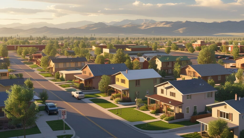
The Mesa County Assessor conducts an annual property assessment to determine current market values for both residential and commercial properties. Most properties are reviewed every year to ensure fair and accurate property tax calculations. According to official records, Mesa County currently maintains over 72,000 parcels.
Each parcel is assigned a unique parcel number, enabling users to search by owner name, property address, assessed value, land and building details, and tax information. This transparent appraisal process ensures accurate public records and supports equitable property taxation throughout Mesa County.
Mesa County, Colorado Property Data – 2026
Mesa County’s 2026 property data shows 63,492 residential and 3,490 commercial properties. The average single-family home is 41 years old and 1,839 sq. ft. Year-to-date, 442 residential sales were recorded. Only 1.02% of homes are seriously underwater, 38.96% are equity-rich, and the effective property tax rate is 0.37%, with just 36 foreclosure filings so far.
63,492
Total Residential Properties
442
Total 2026 Residential Sales (year-to-date)
3,490
Total Commercial Properties
1.02%
% of Homes Seriously Underwater (Q2 2025)
0.37%
Effective 2025 Property Tax
41 Years
Avg. Home Age (Single Family Home)
3,267
Total 2025 Residential Sales
36
Total Foreclosure Filings (year-to-date)
1,839
Avg. Square Feet (Single Family Home)
38.96%
% of Equity Rich Homes (Q2 2025)
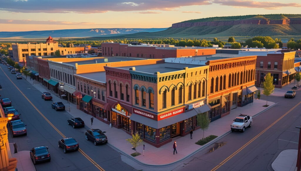
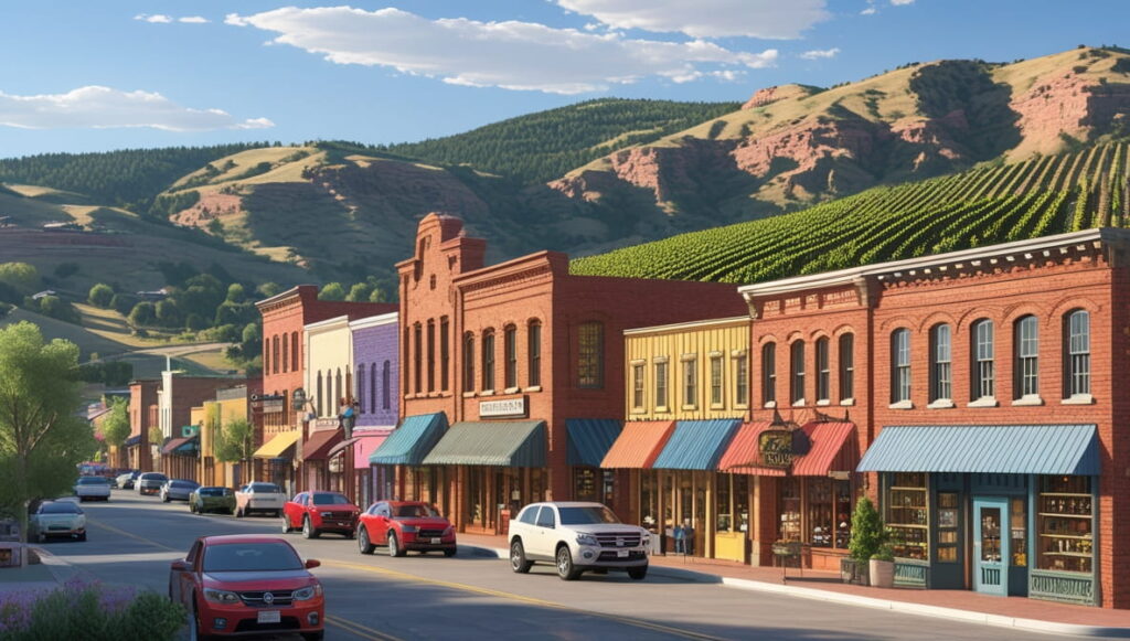
Popular Cities in Mesa County, Colorado
Mesa County’s key cities contain the largest shares of residential and commercial parcels, providing valuable insights for homeowners, investors, and real estate professionals. Grand Junction leads with 32,410 parcels, Fruita follows with 6,225 parcels, and Palisade accounts for 3,045 parcels. Understanding city-level property distribution helps with market analysis, density evaluation, and tax planning across Mesa County.
32,410 Parcels
6,225 Parcels
3,045 Parcels
4 Best Ways to Find Property Records in Mesa County, Colorado
Mesa County property search tools provide 4 easy ways to access accurate public property records online at no cost. You can search by owner name, parcel number (PIN), property address, or city to quickly find ownership information, assessed values, sales history, building details, and full property data.
Mesa County property search by owner name
Enter the owner’s full name to view property ownership history, assessed values, and details maintained by the Mesa County Assessor’s Office. This method is ideal for quickly verifying ownership or researching multiple properties linked to the same person.
Mesa County property search by parcel PIN
Use the property’s unique parcel number to instantly access records, including land and building information, tax assessments, and sales history. Parcel number searches ensure you get precise property details without confusion from similar addresses.
Mesa County property search by property address
Search by street address to locate the current owner, assessed value, parcel data, and tax information for the property. This approach is perfect for homebuyers or researchers looking for specific property insights.
Mesa County property search by city name
Filter records by city such as Grand Junction, Fruita, or Palisade to quickly access ownership, assessment, and local tax details. City searches help narrow results when exploring multiple properties within a particular area.
What Information You Get with Our Mesa County, Colorado Property Appraiser Tool
Our Mesa County property search tool offers complete public record data for every property inquiry. Whether you search by owner name, parcel number, or address, you can access full property records, tax details, ownership information, land and building values, and official county assessment data ideal for research, investment analysis, or verifying property ownership.

Parcel Number
Unique identifier assigned to a Mesa County property for assessment and tax purposes. Used by the county to track every property individually and avoid confusion.

Account
Official property account number used by the Mesa County Assessor’s Office for record management and tracking. It helps link all tax and assessment data for the parcel in Mesa County.

Street Address
The property’s physical location to confirm identity and assist in precise searches. Mesa County searches by address ensure accurate retrieval of relevant records.

City Name
Municipality where the property is located, influencing zoning, taxes, and local regulations. City-based searches help narrow Mesa County records for a specific area.

Primary Surface Owner
Legally recorded owner responsible for property taxes and title in Mesa County. This ensures correct tracking of ownership changes in county records.

Owner Street Address
Mailing address of the property owner for correspondence or official notifications. Mesa County uses this to update owner records and send tax bills.

Owner City
City of the owner’s mailing address, useful for identifying residency or investor ownership. Helps Mesa County verify local versus out-of-area owners.

Owner ZIP
ZIP code of the owner’s mailing address, supporting demographic research and contact purposes. This is included in Mesa County property records for accuracy.
Legal Description
Subdivision, lot, and block information used for title verification and defining property boundaries. Mesa County legal descriptions help prevent boundary disputes and clarify ownership.
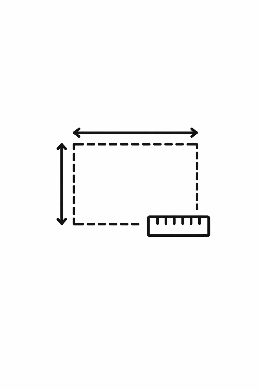
Parcel Square Footage
Total land area in square feet, helping assess lot size and development opportunities. This measurement in Mesa County is crucial for valuation and zoning purposes.
Parcel Acres
Land measured in acres, valuable for zoning, investment, and planning purposes. Mesa County uses acreage to determine property classification and tax rates.

Price of Last Sale
Most recent sale price for valuation, comparative market analysis, and investment decisions. Mesa County records include the last sale price to track market trends.

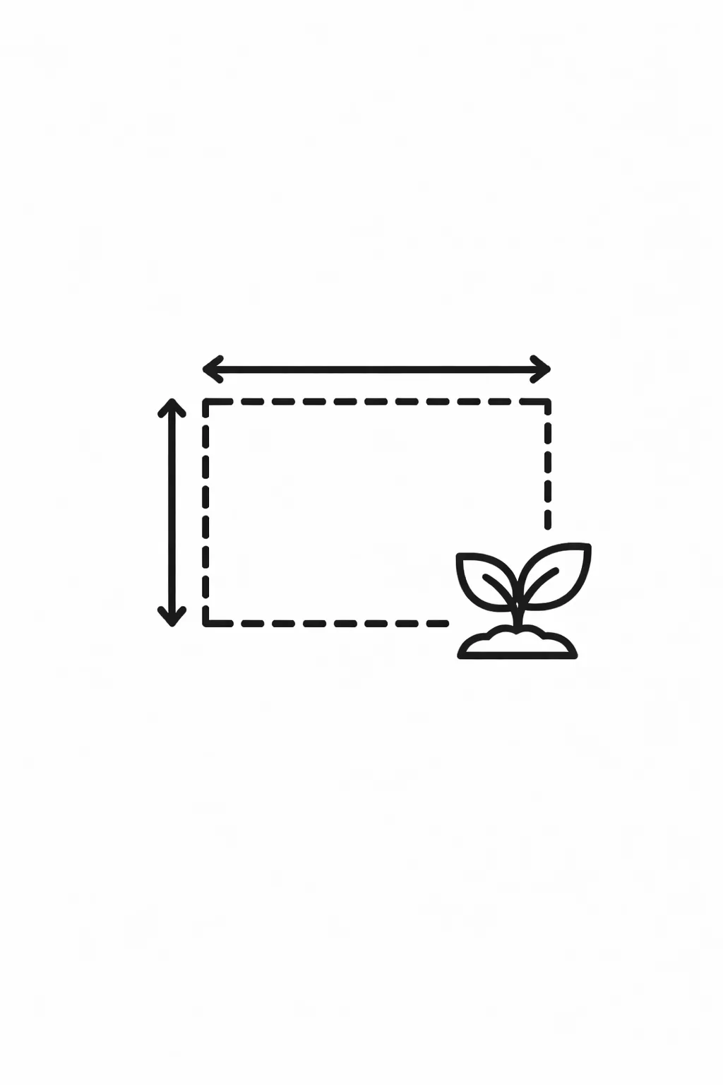
Tax Land Use Description
Property classification: residential, commercial, agricultural, or vacant land for assessment purposes. Mesa County uses this to calculate taxes accurately and categorize parcels.

Subdivision / Condo Name
Official neighborhood or condominium designation for identification and market research. Mesa County records include this to provide context for property location and value.
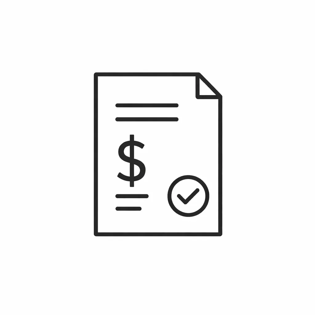
Taxable Value
Portion of the assessed value subject to property taxes, determining the annual tax liability. Mesa County calculates this to ensure fair taxation for all property owners.

Parcel Total Value
Mesa County–assessed total value including land, structures, and improvements. This total reflects the official county valuation for tax and ownership purposes.
Mesa County Property Tax & Demographic Data
Access the latest Mesa County, Colorado property tax and demographic information across key cities and towns. This table provides estimated parcel counts, population, land area, millage rates, and median tax bill estimates, helping homeowners and investors make well-informed decisions about real estate in Mesa County.
| City / Town | Population (Est. 2026) | Area (Sq. Mile) | Total Parcels (Approx.) | Millage Rate (2026) | Median Residential Tax Bill |
|---|---|---|---|---|---|
| Grand Junction | 70,554 | 33.0 | 35,000+ | 68.0 – 75.0 | $1,580 |
| Fruita | 13,700 | 6.0 | 6,500+ | 65.0 – 72.0 | $1,475 |
| Palisade | 2,600 | 1.1 | 1,800+ | 70.0 – 78.0 | $1,150 |
| De Beque | 500 | 4.3 | 400+ | 62.0 – 70.0 | $1,200 |
| Collbran | 700 | 0.6 | 500+ | 75.0 – 85.0 | $1,100 |
Explore Nearby Counties Around Mesa County
If you’re looking into properties across Mesa County, it’s a good idea to explore the surrounding counties as well. This part of western Colorado has a mix of city-centered markets and more remote land options, so nearby areas can show noticeable differences in pricing, availability, and tax structures that are worth comparing.
|
Rio Blanco County Property Search |
|
|
Montrose County Property Search |